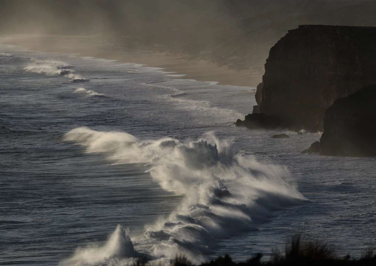
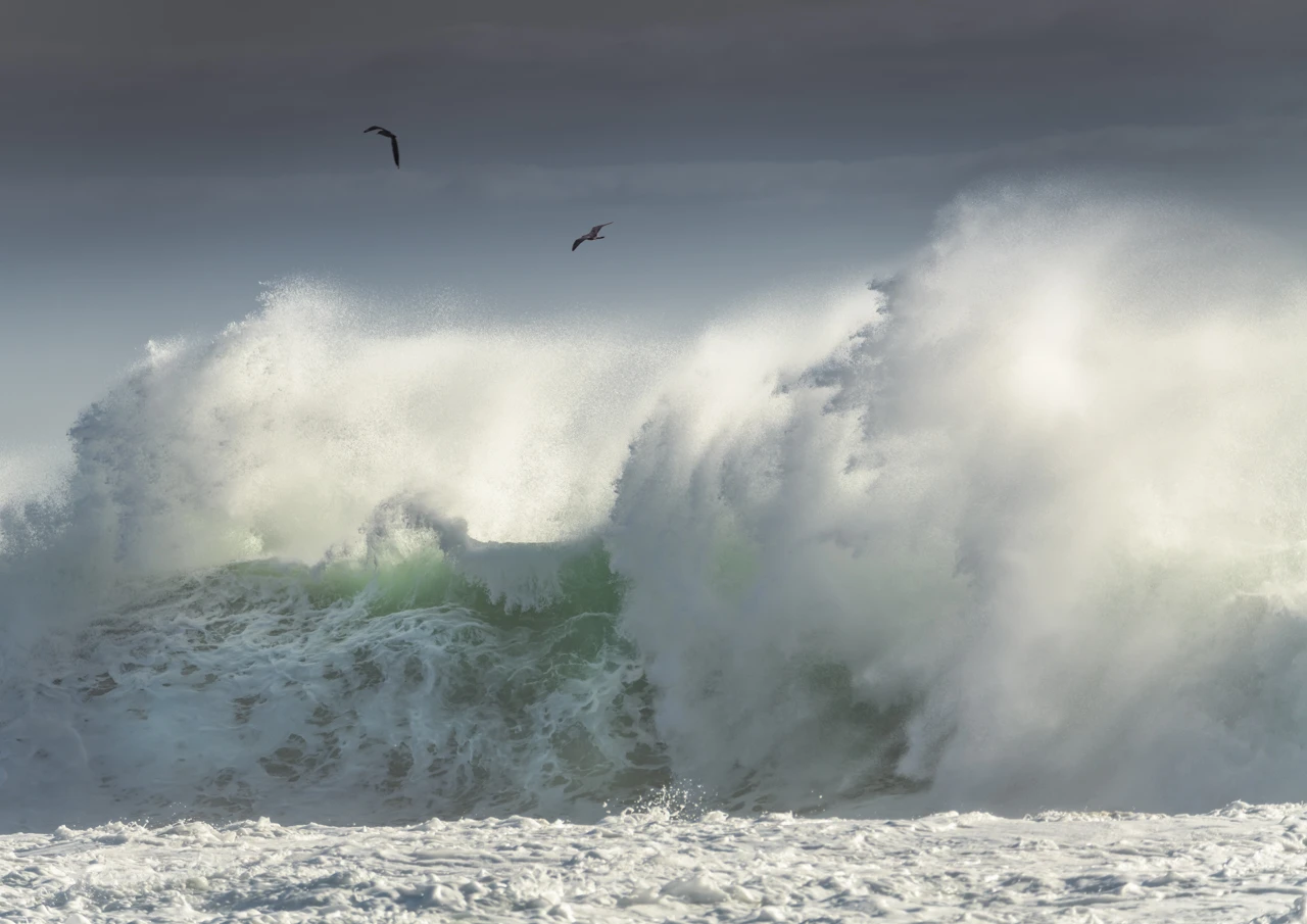
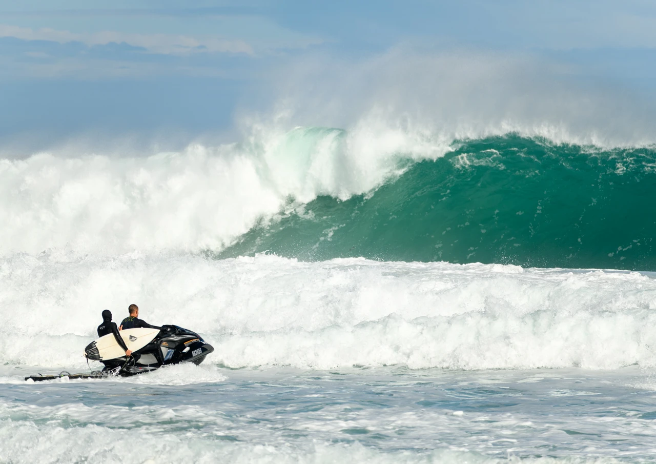
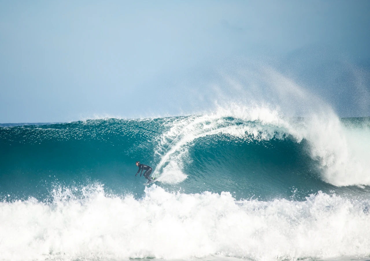
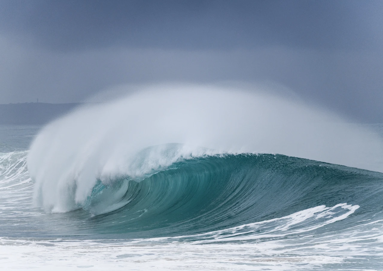
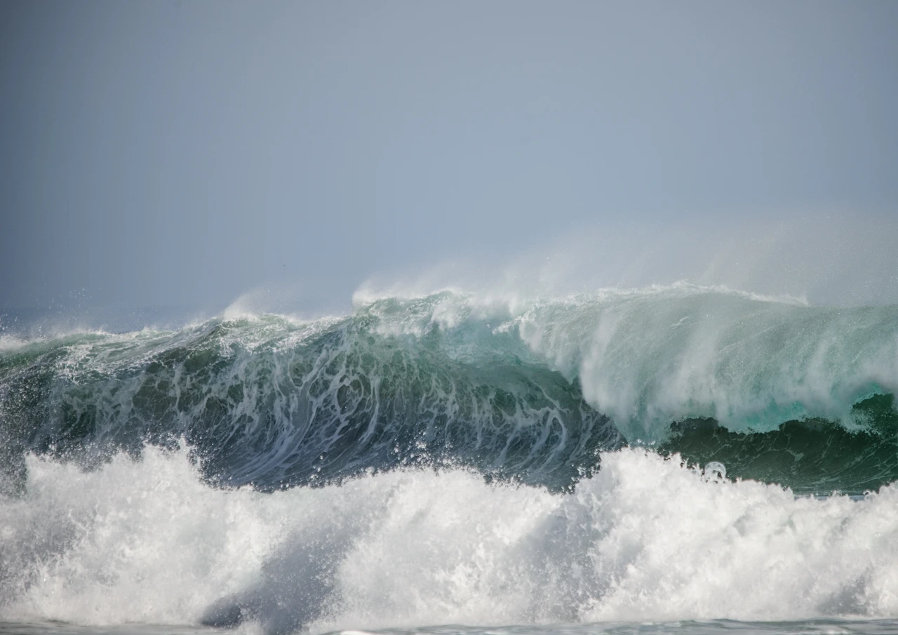
The waves which land on the South Australian shores originate in the Southern ocean.
The Southern Ocean, also known as the Antarctic Ocean, comprises the southernmost waters of the globe, spanning the area south of 60°S latitude and encircling Antarctica, covering approximately 21,960,000 square kilometers.
Generated by the relentless, unobstructed westerly winds between latitudes 40degrees and 50degrees South, the Roaring Forties fuel the Southern Ocean’s massive groundswells. These swells travel thousands of kilometres before hitting South Australia, producing some of the heaviest, most powerful, and pristine surf breaks in the country.
Because there are practically no landmasses to disrupt the wind in these southern latitudes, the resulting groundswells possess massive wave periods, often exceeding 14-17 seconds, packing incredible energy and power. (According to the local surfers the longer the period between waves, the better and more powerful they are for surfing on.)
The tip of Yorke Peninsula,
…..namely two beaches in particular, West Cape and Ethel Beach, very often receive these waves. On those days when the swell is big, I will undoubtedly meander to the salty shores to photograph and witness this God given phenomenon.
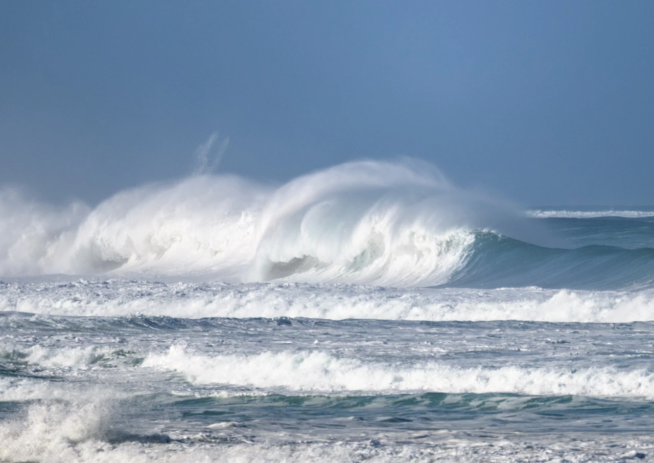
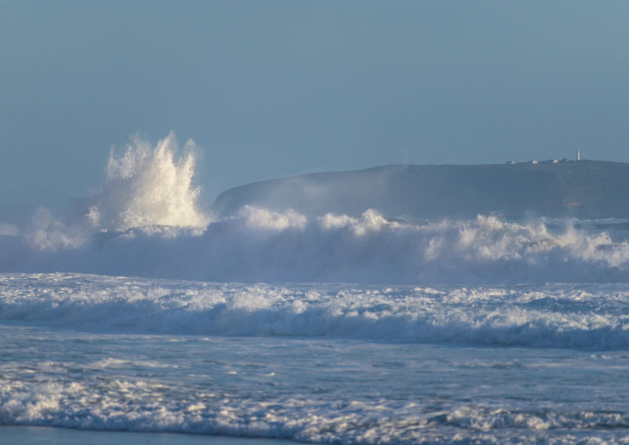
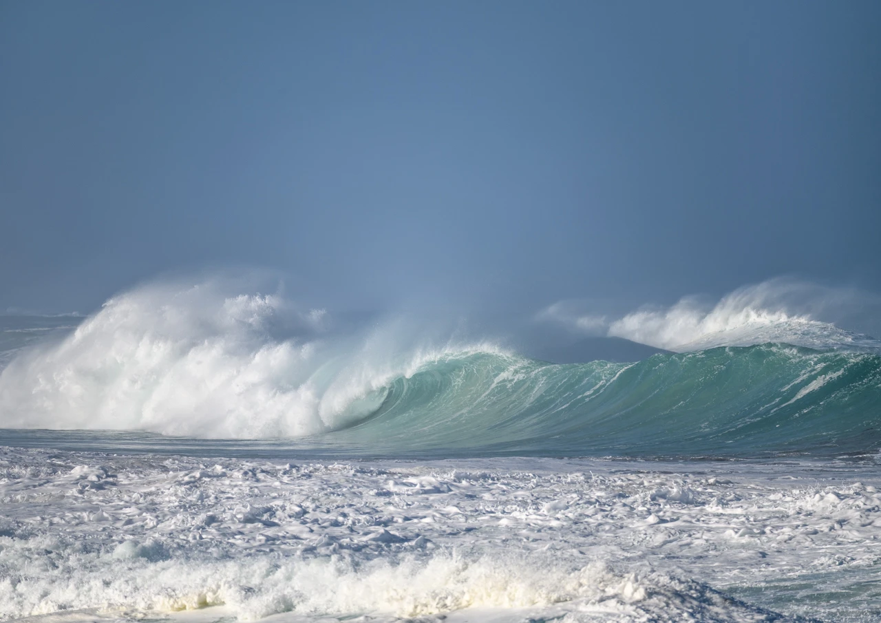
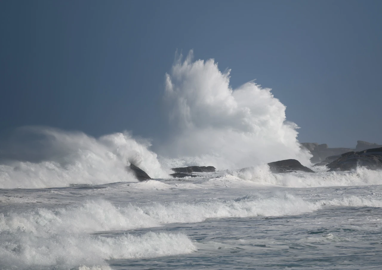
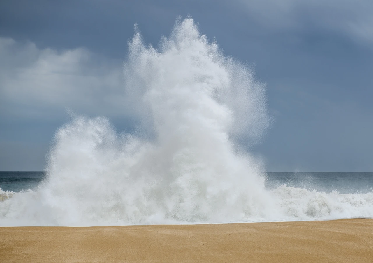
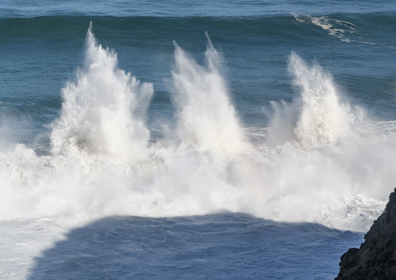
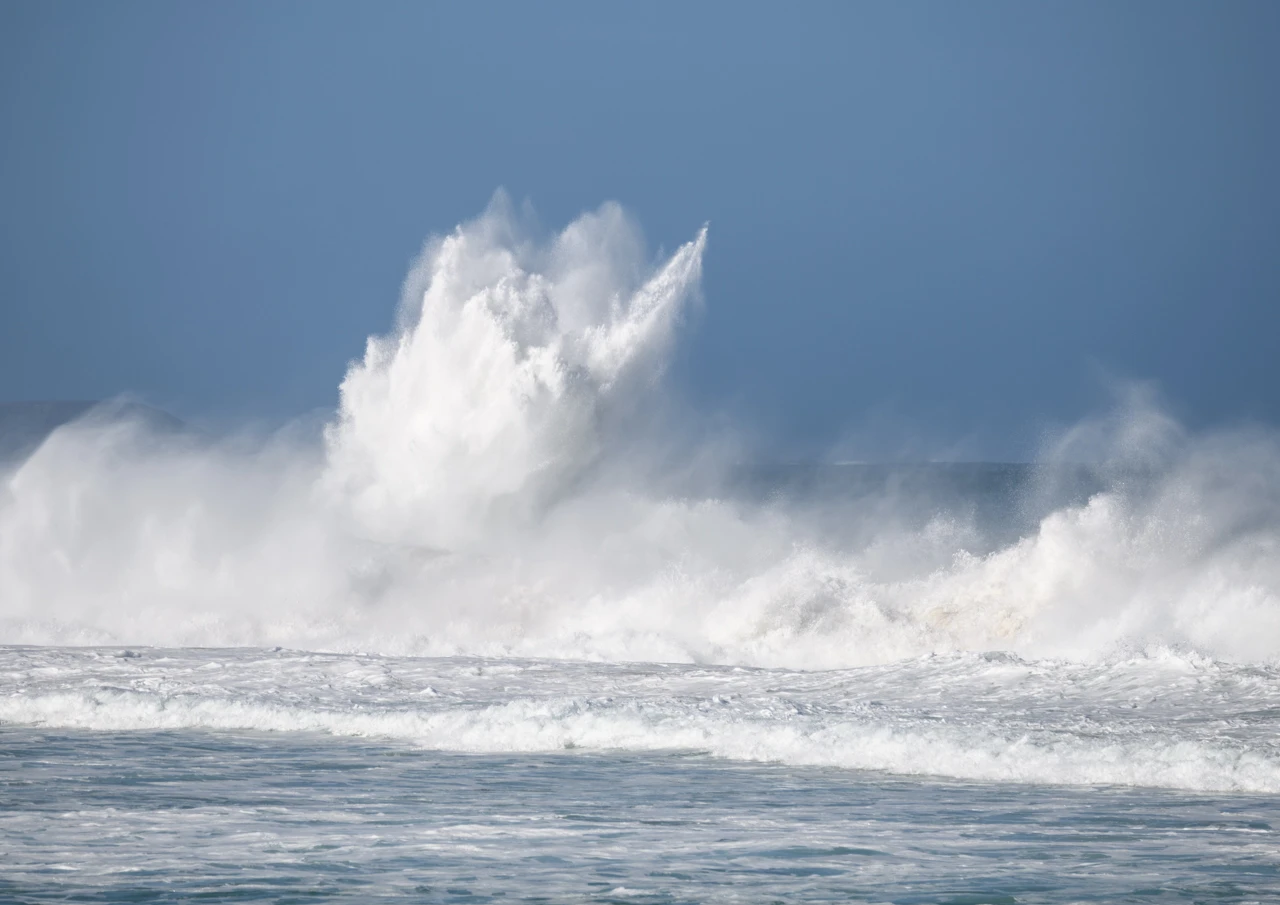
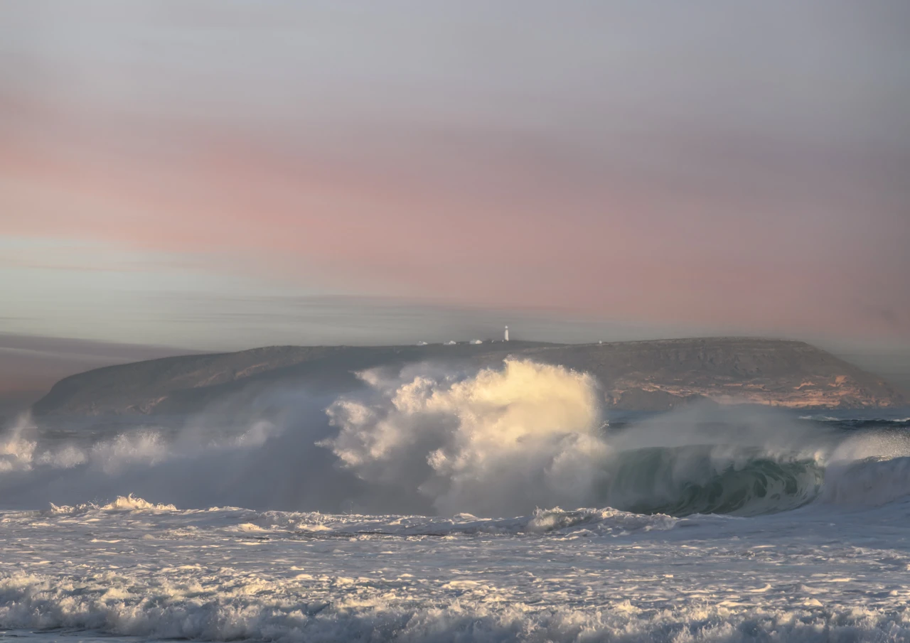
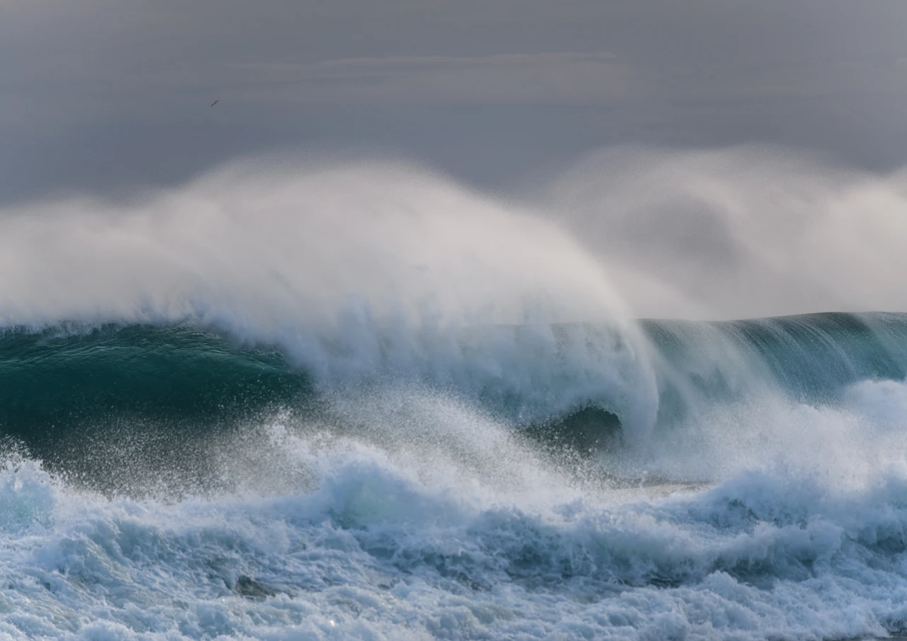
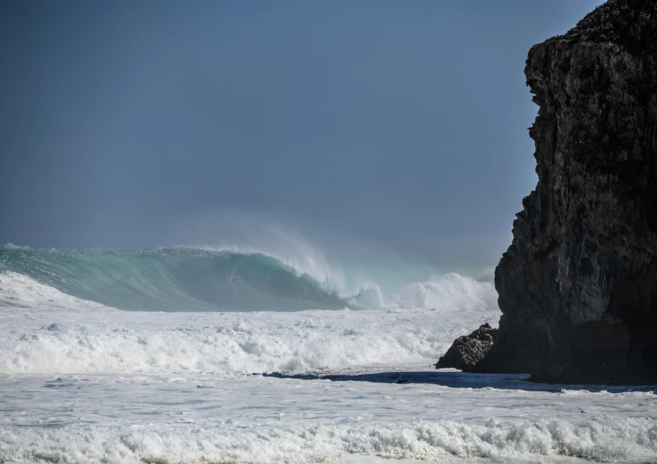
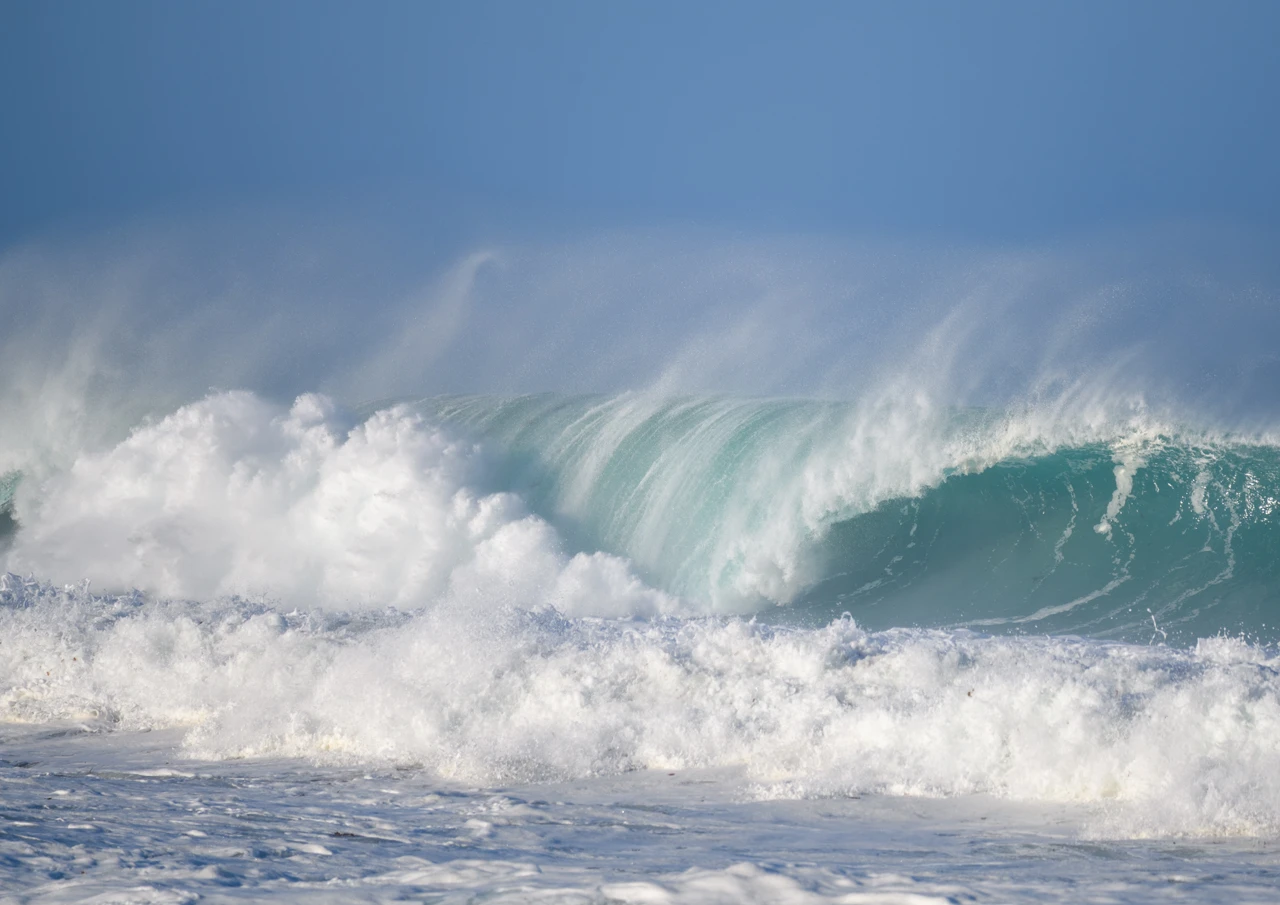
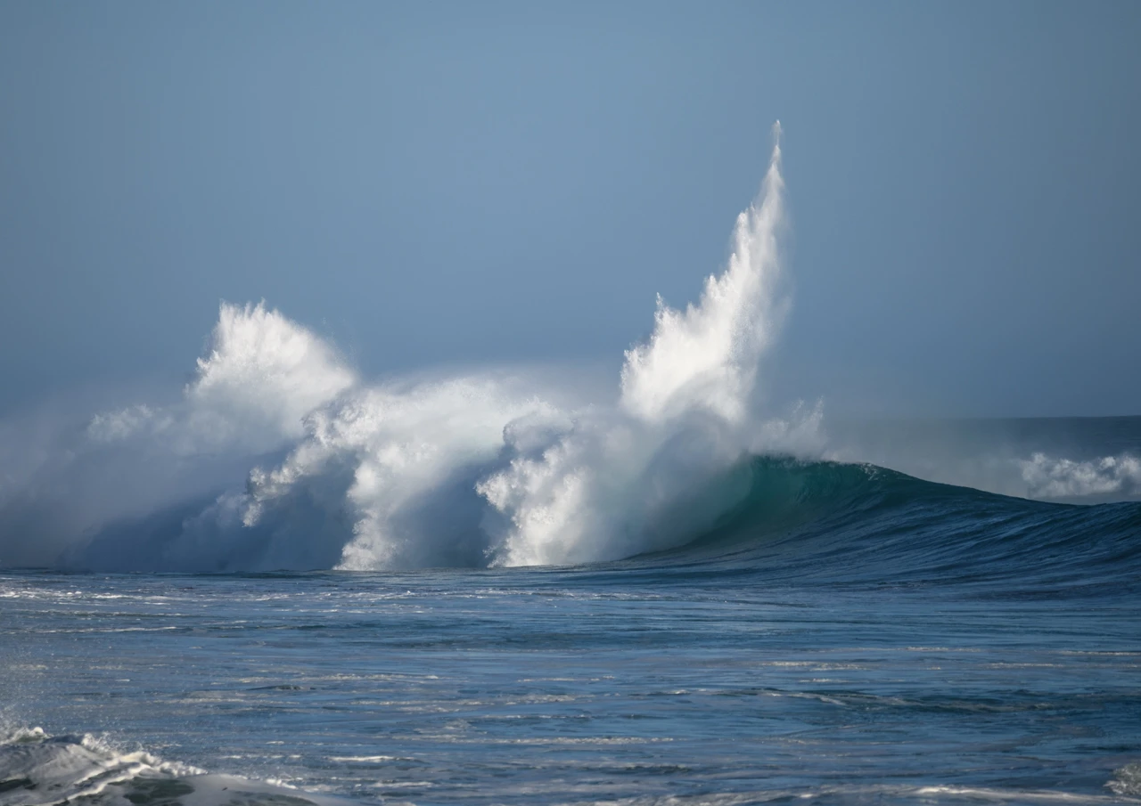
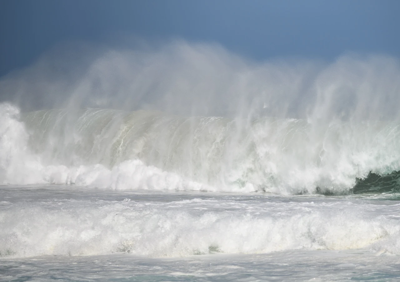
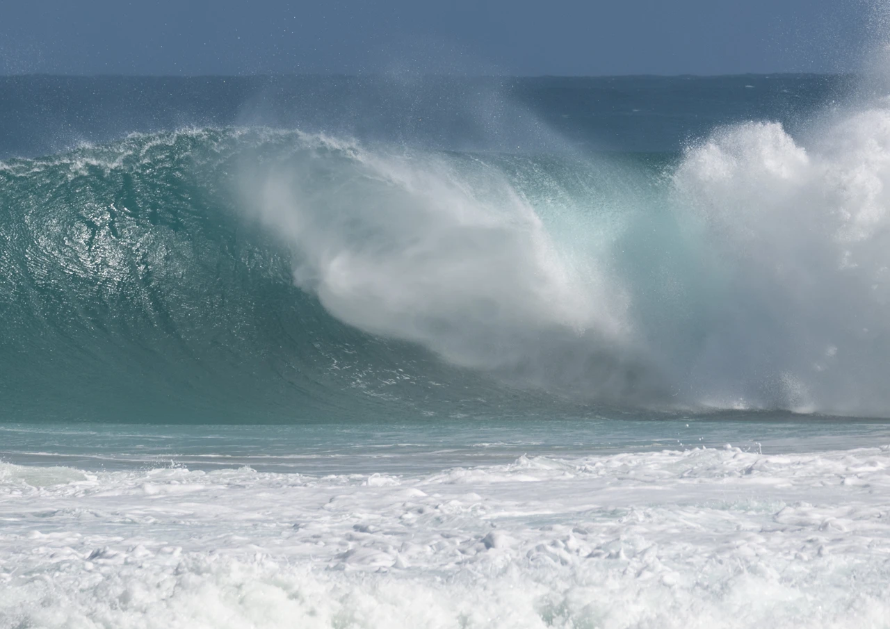
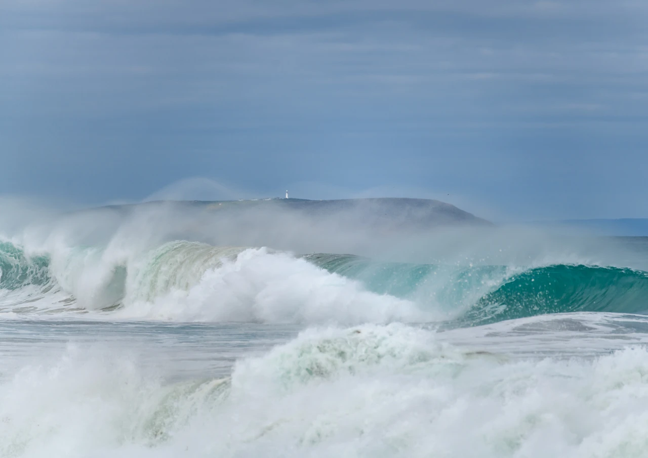
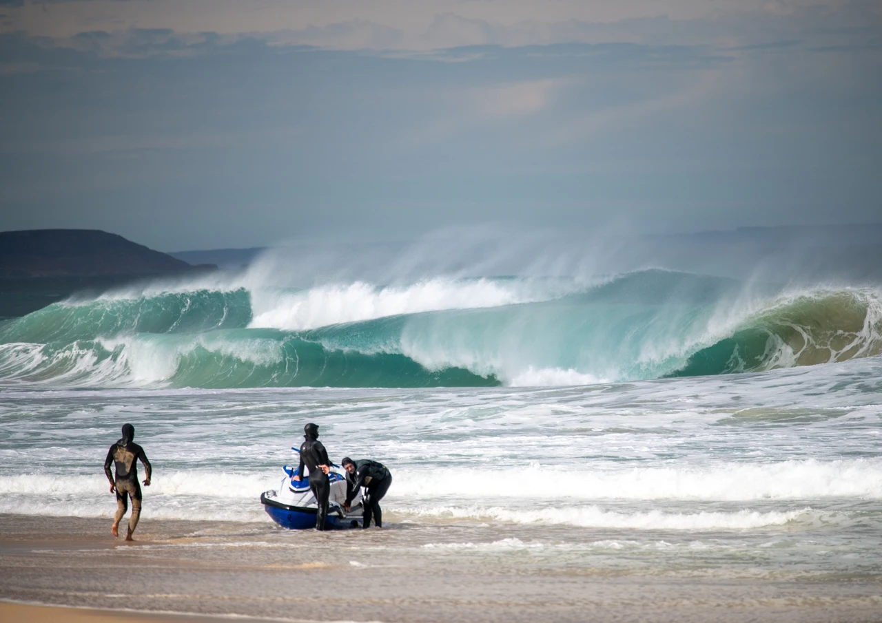
A few interesting facts.
The Antarctic Circumpolar Current:
This is the world’s strongest ocean current. Flowing continuously from west to east, it acts as an icy barrier that separates the relatively warmer waters of the Pacific, Atlantic, and Indian Oceans from the sub-zero waters of the Antarctic.
Global Climate Engine:
The Southern Ocean is Earth’s primary climate sponge, absorbing up to 75% of the excess atmospheric heat from human activity and roughly 40% of human-caused carbon dioxide.
Extreme Conditions:
It is renowned for being the stormiest place on Earth, featuring the planet’s largest waves, strongest winds, and massive, city-sized icebergs.
Depth and Geography
Size:
It represents about one-sixteenth of Earth’s total ocean area.
Depth:
The ocean has an average depth of 3,270 meters (10,728 feet) and reaches a maximum depth of 7,432 meters (24,383 feet) in the South Sandwich Trench.
Natural Boundary:
Its northern limit is defined by the Antarctic Convergence (or Polar Front), where cold, nutrient-rich southern waters meet warmer northern waters.
Marine Life:
The combination of melting sea ice and upwelling nutrients drives the growth of microscopic phytoplankton, which fuels the entire food web. The ecosystem relies heavily on Antarctic krill—a small, shrimplike crustacean that sustains large populations of whales, seals, penguins, and seabirds.
Next blog
….will be about the winter down yonder in Yorke Peninsula’s southern tip, so stay tuned.
(All images are taken by Wendy Philip. No AI generated images.)
This web site is totally ad free, a peaceful and relaxing experience.